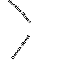
39 DENNIS ST
Owner Information
DUDLEY_NEIGHBORS_INC
39 DENNIS ST
ROXBURY, MA 02119


Property Details
39 DENNIS ST is classified as a (formerly 121A Corporations. Removed June 2009.) (Semi-det).
The primary structure on this property was built in 1994. There is 1,400ft2 of residential/living space within this property. This property is listed as having 6 rooms.
39 DENNIS ST is valued at $119,000. The land is valued at $60,900 and the structures are valued at $56,000. There is an additional valuation of $2,100 on this property.
The most recent deed for 39 DENNIS ST is recorded at the local registrar in Book 99999, Page 999. 39 DENNIS ST was last sold on Saturday, January 1, 1994 for $0.
Assessment data from fiscal year 2020.
Flood Data
According to the FEMA National Flood Hazard Layer, this property does not appear to be in a flood zone. It may also be in an area not yet reviewed. Nonetheless, confirm this information prior to taking any action.
To view the flood hazards around this property, create a FEMA "Firmette" Map of the area around 39 DENNIS ST.
Broadband Internet Providers
| Provider | Type | Bandwidth (mbps) | |
|---|---|---|---|
| Comcast | Cable | 1000 | 35 |
| Verizon New England Inc. | Fiber | 940 | 880 |
| Verizon New England Inc. | DSL | 15 | 1 |
| Viasat Inc | Satellite | 100 | 3 |
| GCI Communication Corp. | Satellite | 0 | 0 |
| HughesNet | Satellite | 25 | 3 |
| VSAT Systems, LLC. | Satellite | 2 | 1 |
| Crown Castle Fiber | Fiber | 0 | 0 |
Broadband service provider data from December 2020.